
Which town is split between Belgium and the Netherlands?
Short answer
Baarle, a village between Breda, Tilburg and Turnhout, is split between Belgian Baarle-Hertog and Dutch Baarle-Nassau. Baarle-Hertog has 22 enclaves surrounded by Dutch territory, and Baarle-Nassau has 8 of its own, 7 of them inside Belgian ones. The split goes back to a land deal in 1198, and a house counts as whichever country its front door is in.
Published · Last verified · 15 sources
Playing loads the video from YouTube (Google), which may set cookies.
The town is Baarle, in the borderland between Breda, Tilburg and Turnhout. It is one village run by two municipalities: Baarle-Hertog, which is Belgian, and Baarle-Nassau, which is Dutch. The border doesn't simply follow a street through the middle, as many people assume. Baarle-Hertog is made of 22 separate pieces of land completely surrounded by Dutch territory, and Baarle-Nassau has 8 pieces of its own on the Belgian side [1]. That makes 30 enclaves packed into one village.
How many enclaves are there in Baarle?
Thirty in all, and each has an official number. When the enclave boundaries were made national borders in 1995, the Belgian ones were labelled H1 to H22 (H for Hertog) and the Dutch ones N1 to N8 (N for Nassau) [3].
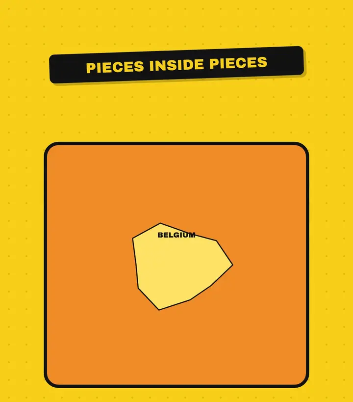
The Belgian enclaves are scattered through Dutch Baarle-Nassau. Seven of the Dutch enclaves sit inside the two largest Belgian ones, so they are Dutch land inside Belgian land inside the Netherlands. The eighth is south of the main border, an island of the Netherlands in the Belgian mainland [3]. Baarle-Hertog also has a piece of territory that isn't an enclave at all: the church village of Zondereigen, just across the regular border in Belgium [1].
Baarle-Hertog (Belgium)
Baarle-Nassau (Netherlands)
Why is Baarle split between two countries?
It started with a feudal deal, not a war. Around 1198, Count Dirk VII of Holland and Duke Hendrik I of Brabant both claimed Breda. Its lord, Godfried II of Schoten, sided with the duke. He handed Breda over to Hendrik in full ownership and received it back as a fief, and in compensation he was given a large area that later became the Barony of Breda [2].
There was a catch. The duke had already granted many plots in that area to former soldiers, and he kept that cleared, worked land under his own control. From then on the village had two masters: Baarle-onder-Breda and Baarle-onder-den-Hertog. When the Barony of Breda passed by inheritance to the Nassau family, the Breda half became Baarle-Nassau [2]. A local historian quoted by Omroep Brabant gives the same account and adds the duke's motive: the plots he kept still paid him taxes [10].
Other villages had the same kind of split, including Zundert-Nassau and Sprundel-Nassau, but annexations tidied them up. Baarle is the only one where the medieval division survived [2].
992
The name Baarle appears for the first time, in a deed concerning the abbey of Thorn [2].1198
Breda changes hands as a fief of the Duke of Brabant, and Baarle is divided between the duke and the lord of Breda [2].1648
The Peace of Münster draws the line between the Spanish Netherlands and the Dutch Republic, and the enclaves become international for the first time [2].1843
1959
The International Court of Justice awards two disputed plots to Belgium [5].1974
A delimitation report signed in Turnhout on 26 April fixes the outer border around Baarle-Nassau, still excluding every enclave [4].1995
2021
The two municipalities set up a joint cross-border body, BGTS Baarle [7].
Why did the border take so long to settle?
After Belgian independence, the two kingdoms set out to mark their border with numbered posts. The commission found it couldn't draw one continuous line near Baarle-Nassau. Border post 214 went where the municipality of Alphen ended and post 215 where Chaam began, leaving what Visit Baarle calls "a hole in the border" [2]. Instead of a line, the 1843 treaty paperwork copied in a municipal record listing, plot by plot, which of the two municipalities each piece of land belonged to [2] [6].
A plot-by-plot list invites disputes, and one went all the way to The Hague. A municipal record drawn up between 1836 and 1841 gave two plots in the cadastral section of Zondereigen to Baarle-Nassau, while the 1843 boundary documents gave them to Baarle-Hertog. The Netherlands argued that the 1843 version contained an error and that it had exercised sovereignty over the plots ever since [5]. On 20 June 1959 the International Court of Justice ruled for Belgium, by ten votes to four [6].
The rest took decades. The 1974 report closed the gap in the outer border but explicitly left out "all enclaves" of Baarle-Hertog inside Baarle-Nassau [4]. Those were only settled in 1995 [2].
Which country is a house in?
The one its front door is in. Visit Baarle describes the main entrance as "decisive for the domicile of its inhabitants" [8], and Baarle-Hertog's mayor says the front door also decides which town hall a couple must marry in [12]. Every house number plate in the village carries the Belgian or Dutch colours, so you can see at a glance which country a door is in [1]. It's a small marker that tells you which side you're on, like the arrow next to your fuel gauge.
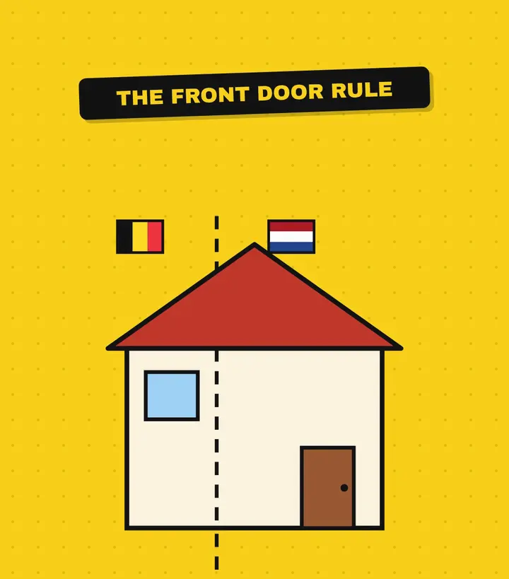
The rule matters because the line runs through buildings. The chair of the local heritage society told Omroep Brabant that 170 structures in the village are crossed by the international border, 90 of them homes [10]. In the street, the line is marked with special paving stones and aluminium plates set into the road surface [1].
The strangest case is in the hamlet of Loveren, partly on the smallest Belgian enclave. There the border runs straight through the middle of a front door, so the house has two addresses: Belgian number 2 and Dutch number 19. Its owners got to choose which municipality to live in [8].
Has anyone moved their front door to change country?
Yes, at least once. When the 1995 survey finished, some enclave borders turned out to lie slightly away from where everyone had assumed. On the Chaamseweg, an 84-year-old resident of number 11, a household everyone took to be Belgian, found her front door was in the Netherlands. Rather than have her emigrate without moving, the front door and the window next to it swapped places [9].
It can't be done on a whim today. The same heritage society chair says moving a front door now needs a building permit, which isn't handed out easily. Where the line crosses a building plot, though, whoever builds the house can still choose which country the door goes in [10].
How do two countries run one village?
Mostly by working together. The two municipalities share work on roads, cycle paths, sewers, a cultural centre, a library and an arts academy. Since 2021 they have run a joint body, BGTS Baarle, which can take decisions binding on both. Its Enclave Council, made up of both municipal councils, meets about three times a year, and its Enclave College of both executives meets monthly [7].
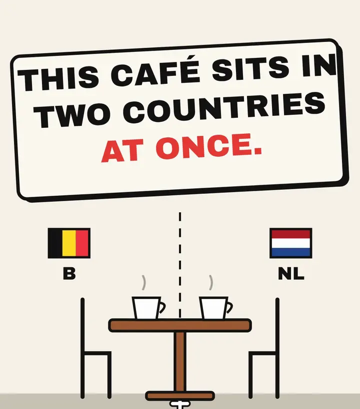
Even the buildings are shared with the border. Baarle-Hertog's town hall stands on the line, which is lit up with LEDs in the façade and in the council chamber. A wedding is only valid if it is performed on the Belgian half of the room [11] [12], so the municipality places the couple's bench on the correct side of the marked line, and the mayor and registrar must stand on Belgian soil too [12]. The police office in the same building is split as well: Belgian and Dutch officers work side by side, and each questions people in the country where they have jurisdiction [11].
National rules still stop at the line. In 2022 the then mayor of Baarle-Hertog pointed to COVID-19 measures as the clearest recent example of Belgian law applying in the enclaves while different rules applied in Baarle-Nassau. The same year, Baarle-Hertog counted 2,988 inhabitants and, for the first time, more Dutch residents than Belgians [13]. The mixing is everywhere: VRT notes that homes, cafés and even living rooms are sometimes split between the two countries [15].
Sources
- 1.About Baarle. Visit Baarle (Toerisme Baarle)Primary. Accessed October 8, 2026.
- 2.History of Baarle (Geschiedenis). Visit Baarle (Toerisme Baarle)Primary. Accessed October 8, 2026.
- 3.30 enclaves, 2 municipalities, 2 countries. Visit Baarle (Toerisme Baarle)Primary. Accessed October 8, 2026.
- 4.Tractatenblad 1974 nr. 188: Boundary Convention of Maastricht, 8 August 1843, and the 1974 Turnhout delimitation report. Kingdom of the Netherlands, Tractatenblad (officielebekendmakingen.nl)Primary. Accessed October 8, 2026.
- 5.Sovereignty over Certain Frontier Land (Belgium/Netherlands): case overview. International Court of JusticePrimary. Accessed October 8, 2026.
- 6.Summary of the Judgment of 20 June 1959. International Court of JusticePrimary. Accessed October 8, 2026.
- 7.Samenwerking met Baarle-Hertog. Gemeente Baarle-NassauPrimary. Accessed October 8, 2026.
- 8.House with 2 house numbers. Visit Baarle (Toerisme Baarle)Primary. Accessed October 8, 2026.
- 9.Front door swap (Voordeurwissel). Visit Baarle (Toerisme Baarle)Primary. Accessed October 8, 2026.
- 10.Middeleeuwse afspraken verklaren waarom Dré in twee landen tegelijk woont. Omroep Brabant. Accessed October 8, 2026.
- 11.Town hall Baarle-Hertog (Gemeentehuis Baarle-Hertog). Visit Baarle (Toerisme Baarle)Primary. Accessed October 8, 2026.
- 12.Landsgrens loopt dwars door trouwzaal in Baarle-Hertog. VRT NWS. Accessed October 8, 2026.
- 13.Voor het eerst meer Nederlandse dan Belgische inwoners in Baarle-Hertog. VRT NWS. Accessed October 8, 2026.
- 14.Cultural Centre Baarle (Cultureel Centrum Baarle). Visit Baarle (Toerisme Baarle)Primary. Accessed October 8, 2026.
- 15.Schommelen tussen België en Nederland in Baarle-Hertog. VRT NWS. Accessed October 8, 2026.
Last verified: . Spotted an error? See our editorial policy and corrections.
Video transcript
You can sit in a café with one foot in Belgium and the other in the Netherlands. Welcome to Baarle. It's a patchwork of tiny Belgian pieces scattered inside the Netherlands, and some of those Belgian pieces have Dutch pieces inside them. The border is painted right on the pavement, with little crosses on each side. Your house belongs to whichever country your front door is in. And when the line runs straight through the room,


